Welcome to Mariner’s Ink – Our Yachtsman Chart Books

Providing all the necessary information for clear sailing from the Canadian border down the coast to the Panama Canal, including the Sea of Cortez, Yachtsman’s Chart Books are easy to use, inexpensive (about the cost of two charts) and designed to fit your needs. All charts are reproductions of official charts by the Defense Mapping Agency Hydrographic/Topographic Center. All pages are arranged with grid lines running parallel to the edge of the page. Every page has a compass rose and a scale. Important supplemental information such as chart symbols, wind scale, bridge openings, rules of the road, safety tips, sound signals, VHF radio channels, storm advisories and phonetic alphabet are included.

$36.95 – FREE S&H

(50 Pages) 15 NOAA charts.

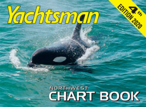
Covers the Pacific Coast along the Washington Coastline from Oregon all the way to the Canadian border and includes the Strait of Juan de Fuca, Strait of Georgia, San Juan Islands, Puget Sound and Lake Washington.

To Order a Northwest Chart Book

$22.95 – FREE S&H

(38 Pages) 19 NOAA charts.

Covers the Pacific Coast along the Oregon Coastline from Northern California to Washington and includes the Columbia River all the way up to Vancouver and Portland.

To Order an Oregon Chart Book

$56.95 – FREE S&H

(42 Pages) 15 NOAA charts.

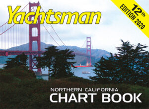
Covers the Pacific Coast from the Point Sur, California to the Oregon Border and includes San Francisco Bay Area and the Delta waterways up to Sacramento and Stockton.

To Order a Northern California Chart Book

$56.95 – FREE S&H

(46 Pages) 15 NOAA charts.

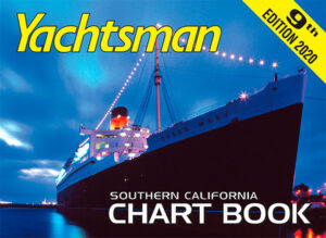
Covers the Pacific Coast from Point Sur, California down to the Mexico border and includes Catalina Island.

To Order a Southern California Chart Book

$104.95 – FREE S&H

(102 Pages) 44 NOAA charts.

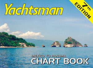
Covers the Pacific Coastline from the Mexico border to the Panama Canal and includes the Sea of Cortez.

To Order a Mexico To Panama Chart Book